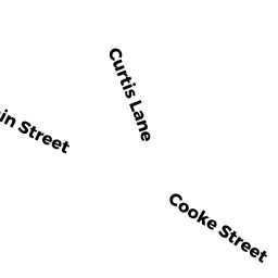
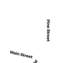
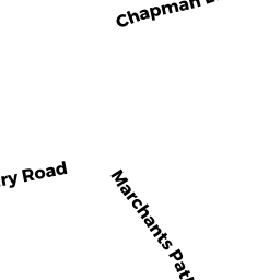
26 WEST TISBURY RD
Owner Information
EDGARTOWN TOWN OF
BOX 5158
EDGARTOWN, MA 02539


Property Details
26 WEST TISBURY RD is classified as a Improved, Selectmen or City Council (Municipal) (Library).
The primary structure on this property was built in 2014. There are 20,837ft2 of built area within this property. There is 14,557ft2 of residential/living space within this property.
26 WEST TISBURY RD is valued at $10,115,900. The land is valued at $1,432,100 and the structures are valued at $8,575,000. There is an additional valuation of $108,800 on this property.
This property is in Zone R5. Confirm with local Zoning Board authorities to ensure there are no overlays or other easements on this property.
The most recent deed for 26 WEST TISBURY RD is recorded at the local registrar in Book 0785, Page 0469. 26 WEST TISBURY RD was last sold on Friday, December 23, 1966 for $0.
Assessment data from fiscal year 2022.
Flood Data
According to the FEMA National Flood Hazard Layer, this property does not appear to be in a flood zone. It may also be in an area not yet reviewed. Nonetheless, confirm this information prior to taking any action.
To view the flood hazards around this property, create a FEMA "Firmette" Map of the area around 26 WEST TISBURY RD.
Broadband Internet Providers
| Provider | Type | Bandwidth (mbps) | |
|---|---|---|---|
| Verizon New England Inc. | DSL | 15 | 1 |
| VSAT Systems, LLC. | Satellite | 2 | 1 |
| HughesNet | Satellite | 25 | 3 |
| GCI Communication Corp. | Satellite | 0 | 0 |
| T-Mobile | Fixed Wireless | 25 | 3 |
| Comcast | Cable | 1000 | 35 |
| Viasat Inc | Satellite | 35 | 3 |
Broadband service provider data from December 2020.
Adjacent Properties
- 20 WEST TISBURY RD
Single Family Residential owned by HOEHN COLIN G & MARCELA P - 30 WEST TISBURY RD
Improved, Education (Municipal or County) owned by EDGARTOWN TOWN OF - 22 WEST TISBURY RD
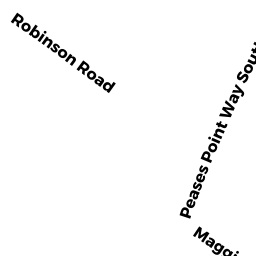
Single Family Residential owned by PEAKES MV LLC - 17 ROBINSON RD
Vacant, Selectmen or City Council (Municipal) owned by EDGARTOWN TOWN OF - 10 MAGNUSON WAY
Multiple Houses on one parcel owned by MEHRING JASON & JULIE